Studying land resources in the areas surrounding Lake Haditha in the Western Iraqi Desert for comprehensive sustainable development
Introduction
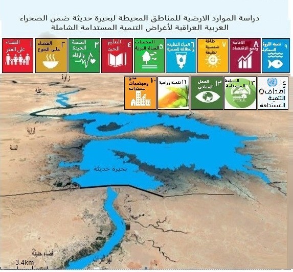
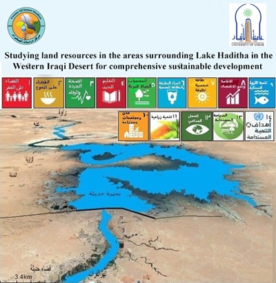
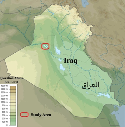
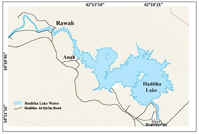
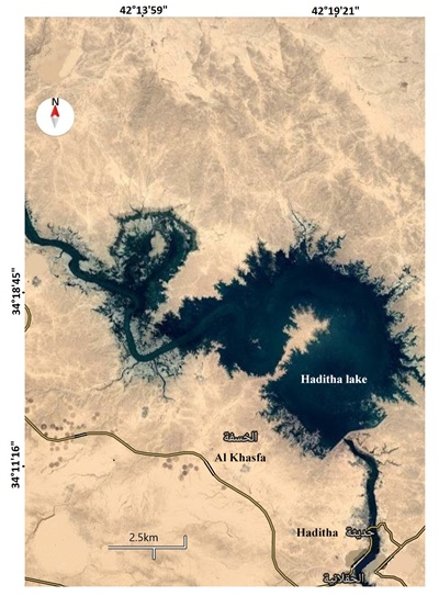
Since its establishment, the Desert Studies Center at the University of Anbar has focused on conducting research in the fields of land, plant, and animal resources, as well as water and land management, with particular attention to the semi-arid regions of the Western Iraqi Desert. The Center has prioritized studies related to soil, crops, and rangelands, as well as desertification monitoring and control, particularly in the western regions of Anbar Governorate. Through years of diligent research, the Center has become a national and regional center of expertise and a reliable reference, aligned with the United Nations conventions to combat desertification, mitigate the effects of drought, and conserve biodiversity and biosphere. Its strategic objectives are fully aligned with the United Nations frameworks for the conservation and sustainable development of dryland resources. Recognizing the importance of the Haditha Lake area and its untapped potential, and in light of the limited previous research, the Desert Studies Center commissioned our research team to conduct a comprehensive study of the land resources in the areas surrounding Haditha Lake, which cover approximately 3,321.35 square kilometers within Anbar Governorate.
According to Al-Hadithi et al. (2024), agriculture is one of the most land-dependent economic sectors. Sustainable agricultural development requires the optimal use and conservation of natural resources. Failure to properly utilize these resources leads to their degradation and loss of productive capacity. The study recommends that Iraq's agricultural strategy, particularly in Anbar, focus on ensuring food security, developing natural and agricultural resources, rationalizing the use of economic and environmental assets, and integrating modern agricultural technologies, particularly in the western desert regions.
Given the increasing degradation and depletion of land resources in this region, this study aims to highlight its potential, provide scientific guidance for its sustainable use, and establish appropriate land use systems to restore ecological balance. To achieve this, the team collected and analyzed descriptive and statistical data, produced thematic maps, and established qualitative databases using modern geographic information systems and remote sensing techniques, in collaboration with a multidisciplinary research team from the Colleges of Engineering, Geography, and Education at the University of Anbar.
This study was completed with the ongoing support and supervision of the Center Director, who facilitated fieldwork and resolved logistical challenges. The goal remains to halt the depletion of land resources, manage them sustainably, raise the standard of living of residents, and ensure that these lands remain a source of prosperity and sustainable development for future generations.
Based on University Order No. 479 of May 30, 2023, this study provides a basic understanding of land resources in the Haditha Lake area and presents sustainable investment opportunities.
Executive Summary:
This study aims to establish a digital framework for assessing the various land resources surrounding Haditha Lake. Key focus areas include:
• Geological and geomorphological characteristics
• Climate assessment
• Identification of suitable areas for rainwater harvesting and agricultural development
• Soil mapping and classification
• Distribution of local plant species and the potential for establishing ecotourism resorts and protected nature reserves
• Study of phytoplankton in lake water
• The study used satellite imagery, topographic maps, and a geographic information system (ArcGIS) program to create spatial maps and support the collection of soil samples.
• The study followed four main phases:
1. Data collection: Acquisition of satellite imagery and topographic maps of the study area.
2. Image analysis: Processing remote sensing data and selecting field sites.
3. Fieldwork: Collecting soil samples using GPS to document target sites.
4. Laboratory analysis: Evaluation of physical and chemical soil properties.
Key findings:
• The study successfully covered the target area surrounding Lake Haditha, which is characterized by limited agricultural activity. The findings are detailed in twelve thematic chapters that together provide a comprehensive overview of the region's land potential and sustainable development opportunities.
 .
.
Topics may interest
Increasing and Declining Wild Plant Species in the Western Desert of IraqTowards Environmental Sustainability: The Green Belt Project Around Anbar Governorate - Ramadi as a Model
National Cotton Development Program
Biogas Digester Project
Cotton Variety Development and Breeding Committee Meeting
Afforestation and Establishment of Oases and Nature Reserves Along the Overland Hajj Route and the Al-Jadida Arar Border Area
Implementing the Biogas Project
A Study on the Status of Wild Medicinal Plants and Their Potential for Sustainable Development in the Desert Environment